


Patscherko

Arnaud Dejean
User
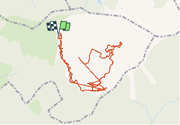

Length
6.4 km

Max alt
2257 m

Uphill gradient
388 m
Km-Effort
11.6 km

Min alt
1959 m

Downhill gradient
389 m
Boucle
Yes
Creation date :
2020-07-31 07:49:08.973
Updated on :
2020-07-31 10:31:22.666
1h47
Difficulty : Easy

FREE GPS app for hiking
 SityTrail
IGN / Geographical institutes
SityTrail Plus
The world is yours!
About
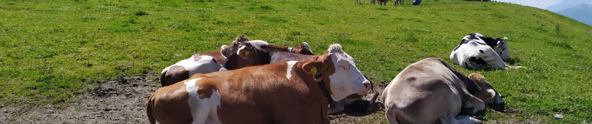
Trail Walking of 6.4 km to be discovered at Tyrol, Bezirk Innsbruck-Land, Gemeinde Patsch. This trail is proposed by Arnaud Dejean.
Photos


Positioning
Country:
Austria
Region :
Tyrol
Department/Province :
Bezirk Innsbruck-Land
Municipality :
Gemeinde Patsch
Location:
Unknown
Start:(Dec)
Start:(UTM)
685671 ; 5231392 (32T) N.
Comments